Public Trees at 42.35 N 71.11 W
Submitted Tue May 28, 2019
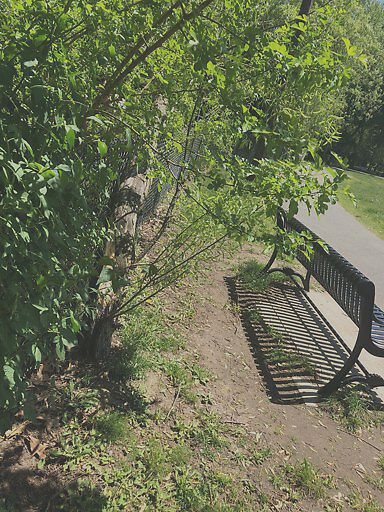
Tree blew down in strong wind
address: 42.35 N 71.11 W
coordinates x,y: 760983.4836253561, 2951512.7757197637
coordinates lat,lng: 42.34644813020297, -71.11226417753602
| Timestamp | Description |
|---|---|
| Mon Jul 08, 2019 11:43am | |
| Mon May 27, 2019 08:17pm | |
| Mon May 27, 2019 08:17pm |
Request submitted via iPhone |